
Sectional Atlas
Tap any point on a VFR sectional and see its airspace. Free, offline, no ads.
Get it on Google Play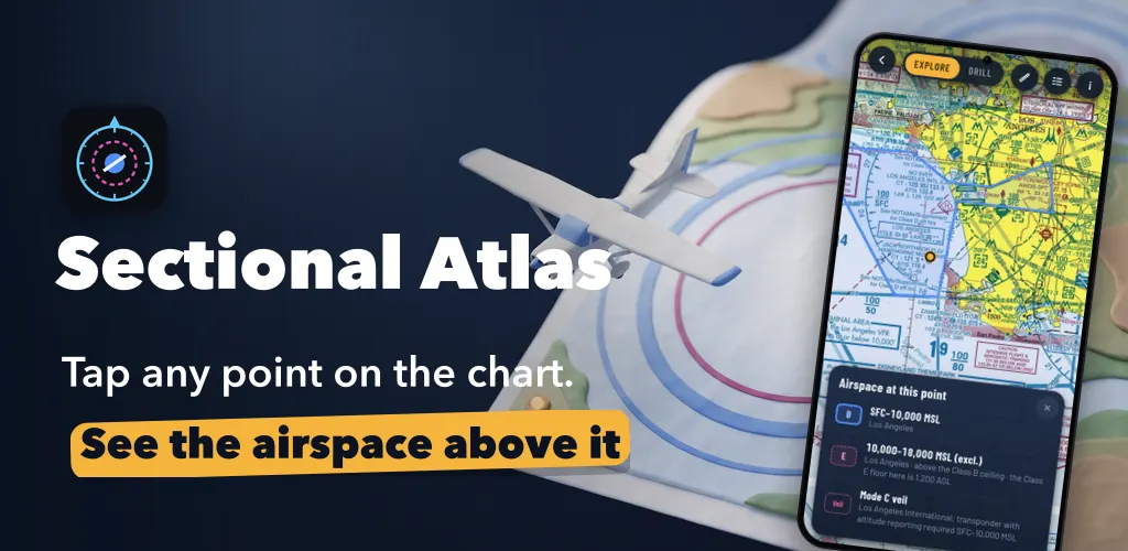
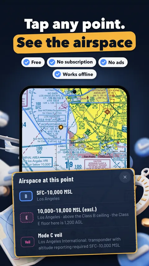
Sectional Atlas lets you tap any point on a VFR sectional chart and see every layer of airspace above it, floor to ceiling. It is built for student pilots preparing for the Private Pilot knowledge test and checkride. Remote pilots studying for Part 107 can use the same chart figures.
Why the sectional is hard to read
Class B shelves, Class C rings, Class D boxes and the faded magenta of Class E overlap on one page. A printed legend explains the symbols but does not tell you what is above the spot you are looking at. Tap the chart and the app lists the whole column: Class B, C or D with its floor and ceiling, where Class E begins, special use airspace and the Mode C veil. It also outlines those areas on the chart so you can see their shape.
Practising with feedback
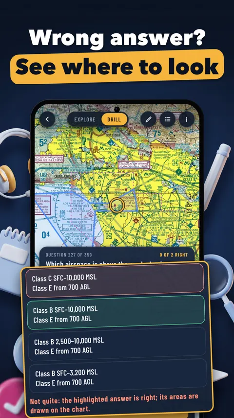
Drill asks questions about the chart on screen: which airspace is at the marked point, how low the Class B floor is there, the CTAF or tower frequency of a field, its longest runway, where a symbol is. Answers come from the same FAA data the chart is drawn from. After a wrong answer, the app outlines the airspace or points to the printed label that holds the right one. You learn where to look, not just that the answer was B.
Test figures you can zoom
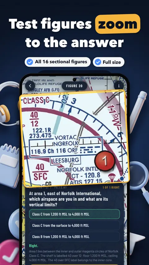
The app includes all 16 sectional chart figures of the Airman Knowledge Testing Supplement (FAA-CT-8080-2H) at full size, with 112 questions on their numbered areas. Pinch to zoom as far as you need. After each answer the figure zooms to the exact print the answer comes from, with a short explanation. A timed 15-question practice test is scored at the end against the 70% passing line, with a review of every miss. A progress screen shows how you do on each Private Pilot ACS element.
Reading airports and obstacles
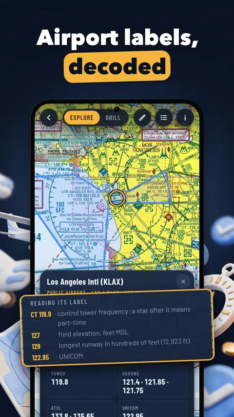
Tap an airport to read its chart label line by line: tower or CTAF frequency, field elevation, longest runway, UNICOM. The airport card lists tower, ground, ATIS, CTAF and UNICOM frequencies, every runway with length, width and surface, magnetic variation and fuel. When online it adds the latest METAR and TAF in plain words with the flight category. Tap an obstacle for its height above sea level and above the ground.
Plotting a leg and finding symbols
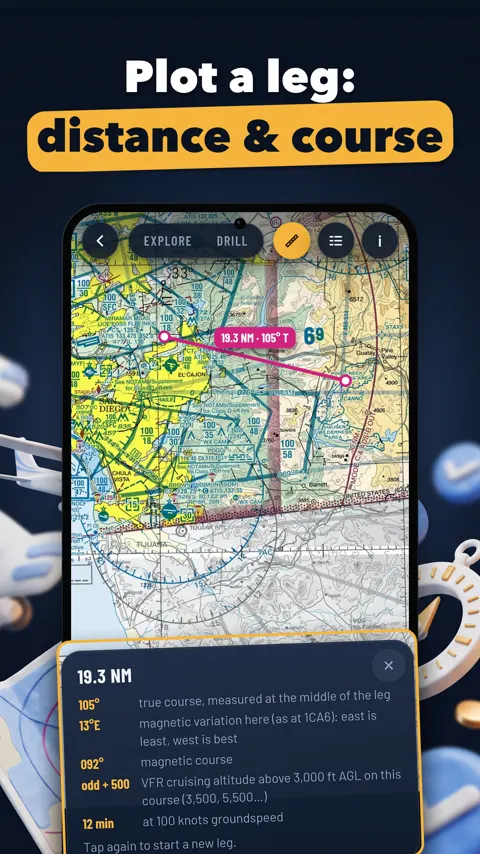
Tap two points for the distance in nautical miles, the true and magnetic course, and the VFR cruising altitude rule for that course. Each symbol in the legend has a “Find one” button that jumps to a real example on the chart.
Data sources
Chart images, airspace, airport and obstacle data and the test figures are US Government works published by the FAA. Weather reports come from the NOAA Aviation Weather Center. This version includes the chart edition effective Oct 29, 2026.
Can I use it for navigation?
No. Sectional Atlas is a study aid for training only, and is not affiliated with the FAA.
Which charts are included?
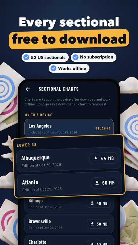
The Los Angeles sectional comes with the app. Any of the 52 sectionals of the lower 48, Alaska and Hawaii can be added; the app shows the size first and asks, and the chart then works offline.
Which test figures are in the app?
All 16 sectional chart figures of the Airman Knowledge Testing Supplement (FAA-CT-8080-2H), with 112 questions on their numbered areas.
Is my progress sent anywhere?
No. There is no account and no ads, and your answers stay on your device.